‛IQRIT – ACRE DISTRICT
33°4′32″N / 35°16′32″E
1948: Population 568; Houses 83
Occupation date: October 30, 1948
Occupying forces: ‘Oded Brigade
Occupying operation: Operation Ḥiram
Post 1948: In 1949 Moshav Shomera was established on the border between the lands of ‛Iqrit and Tarbīkha; Moshav Goren was established on village land in 1950. On December 24, 1951, the Israeli military razed what remained of ‛Iqrit with explosives.16 Moshav Even Menachem was established on the border between the lands of ‛Iqrit and Tarbīkha in 1960, and in 1980 Moshav Granot HaGalil was established on village land. For decades, the refugees of ‛Iqrit (currently living 20 kilometers away in the Arab town of al-Rāma) pleaded their case in the Israeli High Court of Justice for the right to return to their homes. On July 31, 1951, the High Court ruled in favor of the return of the ‛Iqrit refugees to their village; however, the Israeli military continued to obstruct a return.17
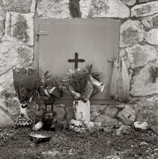
Today: The church and cemetery are the only remaining structures on the land.
Official Israeli name: None. The former village of ‛Iqrit appears on some contemporary maps of Israel.
