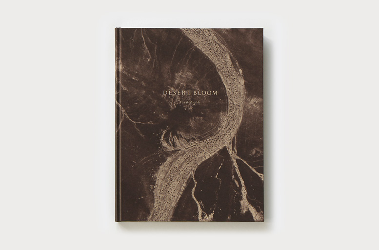
Desert Bloom
Desert Bloom is the second project in The Erasure Trilogy
Tracing the consequences of Prime Minister David Ben-Gurion’s dream of settling the Negev and making the “desert bloom,” the aerial photographs that comprise Fazal Sheikh’s Desert Bloom project reveal the many forces and actions that have blossomed to displace and erase the Bedouins who have lived in the desert for generations. They expose the transformation of the landscape caused by mining, military training camps, the clearance and appropriation of the desert by reforestation, the enforced evacuation and demolition of “unrecognized” Bedouin villages and the expansion of Israeli settlements. What becomes clear is the degree to which the alteration and devastation of the Negev has gone hand-in-hand with violence against the Bedouins. In studying these photographs, the desert comes to us as a kind of archive of what has happened on its shifting surfaces over time; what is hidden and sealed within its dunes, and the efforts to erase the traces of its long and often violent history.
Image Gallery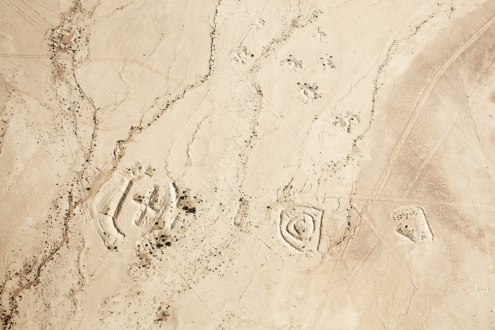
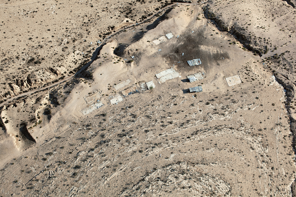
Remnants of evacuated Bedouin homestead and military earthworks in a live-fire zone, outskirts of Qabbūʽa ‘unrecognized’ village
Remnants of evacuated Bedouin homestead and military earthworks in a live-fire zone, outskirts of Qabbūʽa ‘unrecognized’ village
Decommissioned British-era munitions storage bases near the Gaza border
Abu Asa family homestead in the vicinity of the recognized Bedouin town of Bīr Haddāj
Abu Asa family homestead in the vicinity of the recognized Bedouin town of Bīr Haddāj
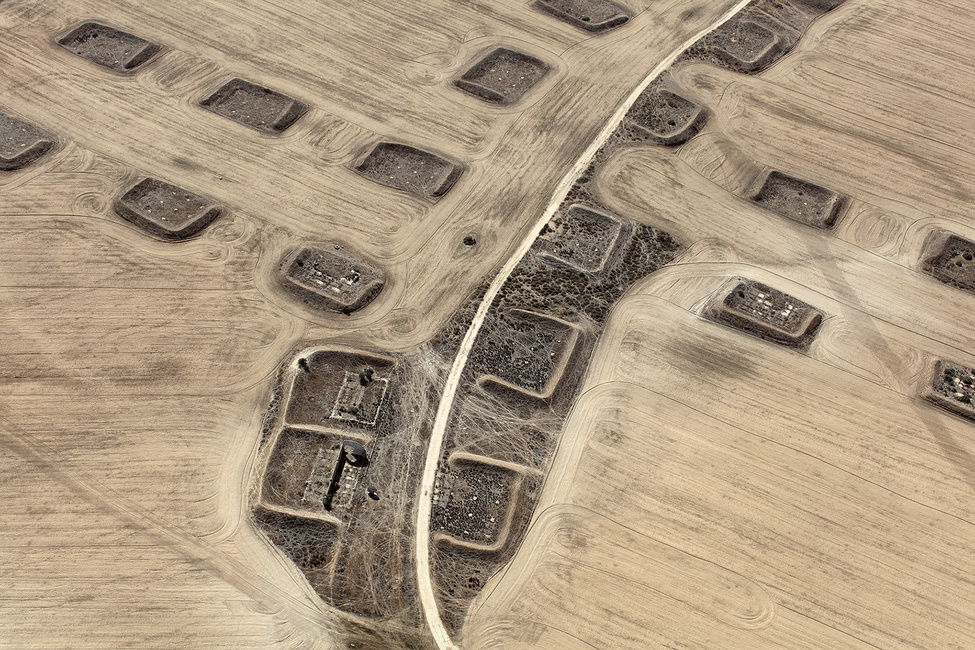
Preparations for planting the Jewish National Fund (JNF) Ambassador Forest at the site of the former homes of the Abu Jāber, Abu Mdīghem, and Abu Freiḥ families, of al-ʽAraqīb
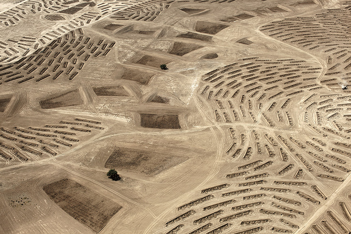
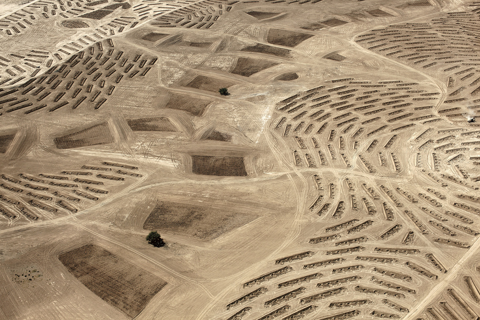
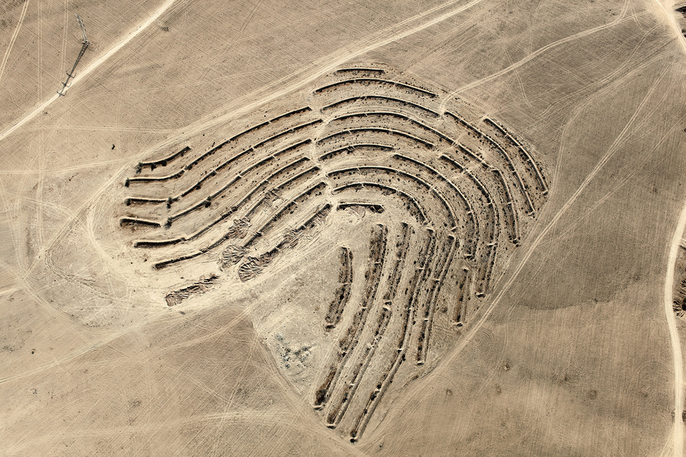
Ofakim (lit., “horizons”) city expansion grid, showing major roadways and plot delineation.
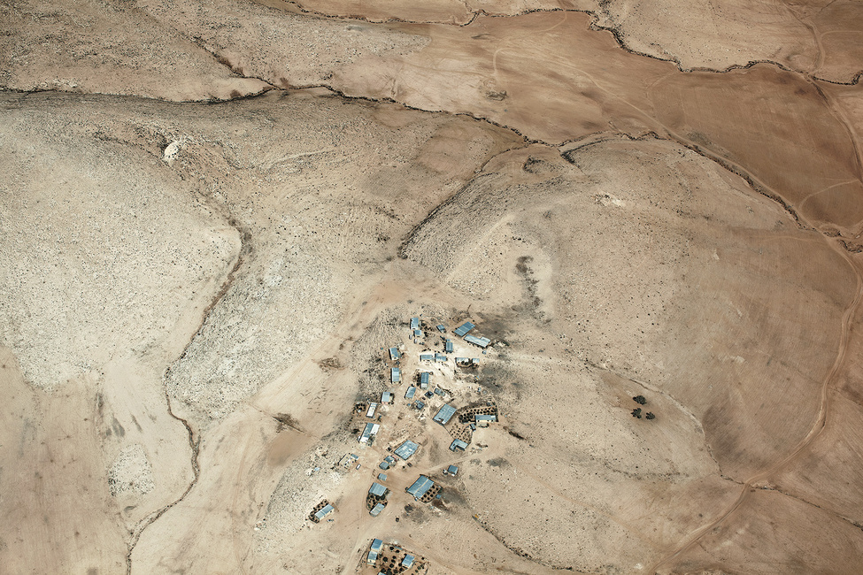
Outskirts of the Arab village of al-Dreijāt, established in the nineteenth century, but not recognized by the State of Israel until 2004
Evaporation ponds at the Arad Phosphate Mine
Demolished remains of a Bedouin home and fenced area within the Ministry of Agriculture and Rural Development experimental site
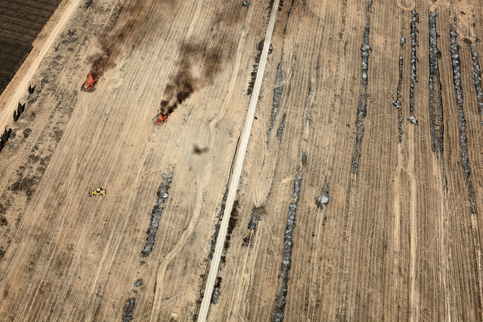
Piles of discarded plastic refuse burning after the harvest in the outskirts of the Mivtaḥim (lit., “safe havens”) moshav
Underground communications and power lines to the border fence and intersecting seismic test line, border zone between the Negev and Egyptian Sinai
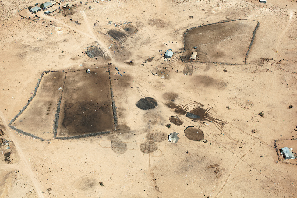
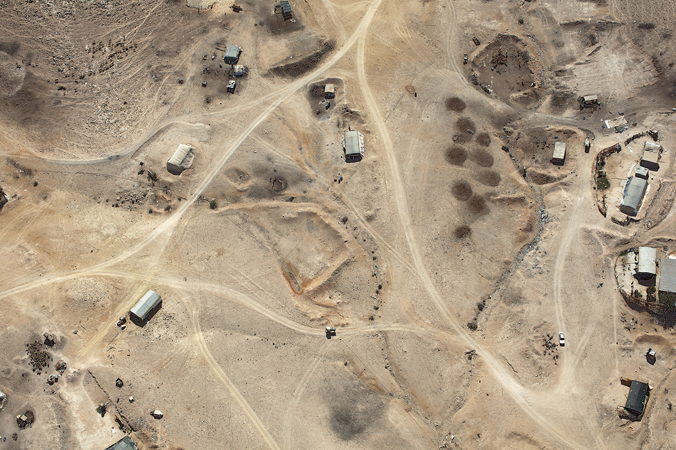
Bedouin homestead of the Habsi family, of the ʽAzāzme tribe, in the unrecognized village of Rakhma
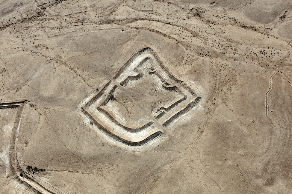
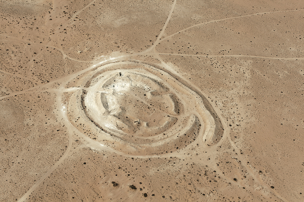
Pita (a circular form simulating an enemy installation) for military maneuvers in a closed military live-fire training zone
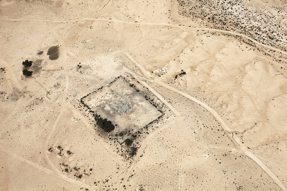
Remains of the foundations of the homestead of Ḥasan a-Sarāyʽa, on the outskirts of the unrecognized village of Bāt al-Sarāyʽa
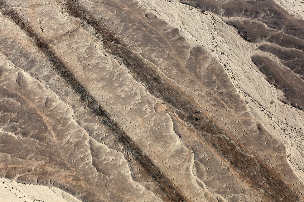
Earthworks organized by the Jewish National Fund in preparation for planting the Ambassador Forest along the Al-‘Araqīb stream
Impact craters and wreckage of two Israeli Air Force (IAF) Skyhawk planes used as targets along a simulated airstrip in the live-fire zone of the Naḥal Masor basin
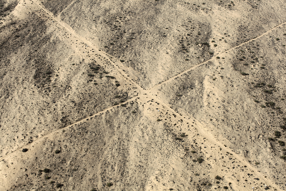
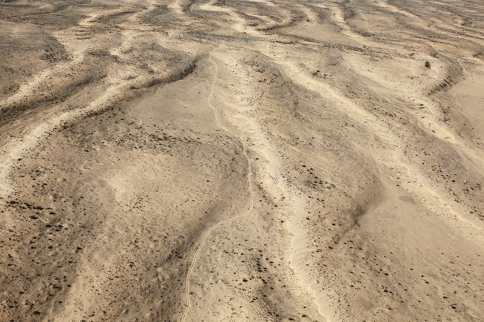
Tracks of recent passage along an improvised route through the Ḥalutza Sands toward the Egyptian border
Publication
Desert Bloom and Desert Bloom Notes (the companion reader), the second volume in The Erasure Trilogy
Steidl
With text by Fazal Sheikh
Design: Fazal Sheikh with Duncan Whyte/Steidl Design
160 pages, 75 color images
8.1 x 10.6 in. / 20.6 x 27 cm
Clothbound hardcover with dust jacket
Monochrome printed paperbound hardcover
ISBN 978-3-86930-805-0
Desert Bloom Notes (the companion reader), explores the historical and contemporary clues along the shifting surface of the desert, and what lies hidden, sealed within Sheikh’s aerial landscapes of the Negev.
32 pages with 85 color images
8.1 x 10.6 in. / 20.6 x 27 cm
Embossed paperbound volume
Online Edition
In order to bring his projects and the issues involved in them to a wide international audience Fazal Sheikh has made his publications available on line.
Viewable in the following languages: